
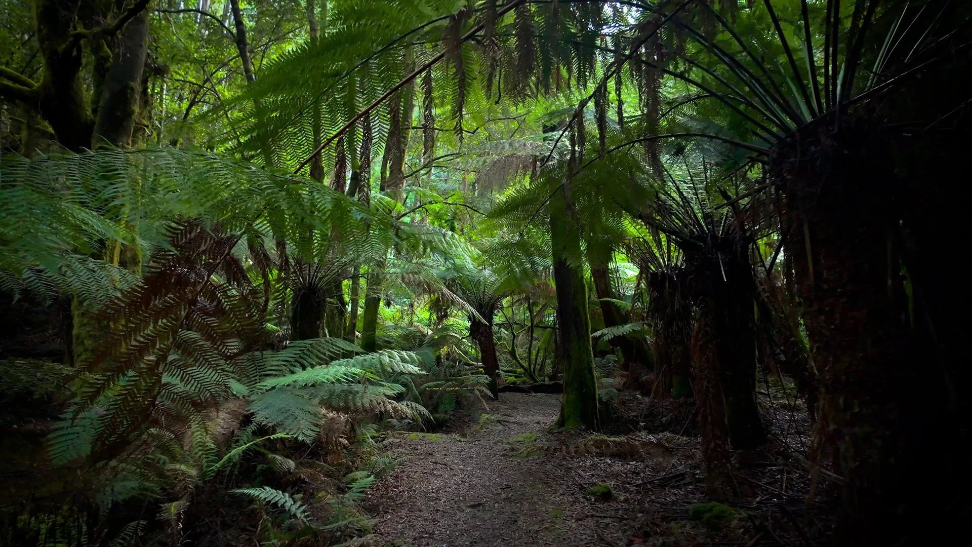
Virtual West Highland Way Walk Walk for Treadmills
The West Highland Way runs for 154 km from Milngavie near Glasgow to Fort William, crossing some of Scotland’s best-known Highland landscapes. This 121-minute walking video follows the route through woodland, open moorland, loch country and increasingly rugged mountain terrain.
The trail changes considerably along the way, moving from compact dirt and gravel paths into rockier sections, grassy tracks and uneven Highland ground. Loch Lomond features prominently, with woodland and rugged shoreline sections giving way to the broad open landscape of Rannoch Moor. Further north, the route passes through the mountains around Glencoe before climbing the Devil’s Staircase toward Kinlochleven.
Elevation becomes more noticeable as the walk progresses. There are steady climbs and descents rather than one continuous gradient, with the Devil’s Staircase marking the highest point on the route. For treadmill walking, around 4 km/h with a 3% incline gives a consistent moderate hiking effort, although it smooths out the real changes in gradient.
The scenery keeps shifting between Highland lochs, rushing rivers, forest corridors and exposed moorland, with Ben Lomond and later the mountains around Glencoe appearing through wider openings. Near Fort William, views extend toward Ben Nevis, the highest mountain in the British Isles.
The route has a purposeful long-distance rhythm, with enough uninterrupted trail movement to settle into a sustained indoor walking workout. Across two hours, the changing Scottish landscape provides a continuous progression from softer countryside into the more rugged Highlands.
Trail Information
Location: Scotland
Trail: West Highland Way
Walk Duration: 121 Minutes
Terrain: Mountain Trail
Suggested Treadmill Incline: 3%
Walking Pace: Easy to Moderate