
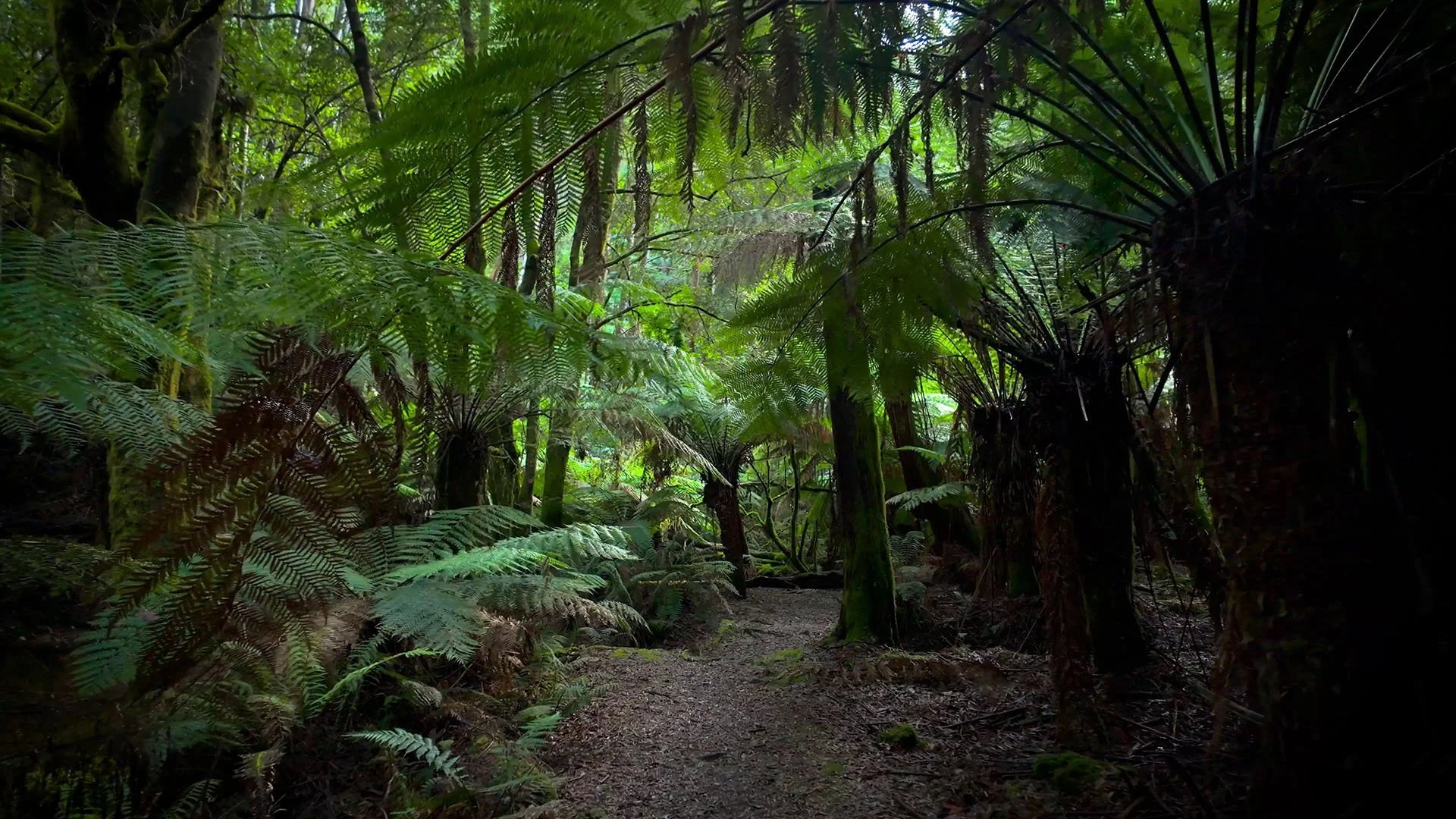
Virtual Te Araroa Walk for Treadmills
This section of Te Araroa in Canterbury follows a natural track through native beech forest, with compact dirt, exposed roots, rocks and grassy patches underfoot. The trees stay close around much of the route, with occasional openings giving a glimpse of the wider landscape beyond.
The trail has a typical backcountry feel rather than the smooth surface of a maintained walking path. Roots and small rocks break up the dirt, and the ground becomes more uneven in places. There are also short grassy sections where the forest opens up before the track heads back beneath the beech canopy.
Te Araroa is New Zealand's long-distance trail, stretching for around 3,000 kilometres from Cape Reinga in the north to Bluff at the southern end of the country. The Canterbury section crosses the South Island's mountain country and includes the historic Harper Pass route, with the wider trail passing through everything from forest and river valleys to farmland and alpine terrain.
For the treadmill version, the pace is set at around 4 km/h with a 2% incline. This gives the walk a gentle, continuous uphill feel without making it too demanding. If you want an easier session, dropping the incline to 0–1% keeps the same steady walking pace.
Most of the scenery remains within the forest, although there are occasional views towards grassy clearings, streams and the surrounding mountain valleys. The native beech forest and uneven natural track give this section a distinctly New Zealand backcountry feel.
At 21 minutes, this is a short virtual walk covering just one small part of the much longer Te Araroa Trail. It’s a steady forest hike with natural terrain and a little incline, rather than an attempt to recreate the entire route.
Trail Information
Location: Canterbury, South Island, New Zealand
Trail: Te Araroa Trail
Walk Duration: 21 Minutes
Terrain: Natural Beech Forest Trail
Suggested Treadmill Incline: 2%
Walking Pace: Easy to Moderate